Aerial & Drone PHOTOGRAPHY & VIDEO
Martyn provides professional aerial and drone photography and video for construction sites, industrial facilities and completed developments across Lancashire, Manchester, Liverpool and the wider North West. CAA compliant drone operations are a core part of this work, capturing perspectives ground-level photography can't reach for progress overviews and promotional material, alongside aerial coverage that pairs naturally with both industrial and architectural assignments. Martyn brings the same professional, detail-focused approach to aerial work as every assignment.
Holding a CAA A2 Certificate of Competency along with operator and flyer IDs and dedicated drone liability insurance, Martyn is qualified to fly larger, more capable drones safely and legally in closer proximity to people and structures — not just the lightweight drones that require no formal qualification. Martyn uses a DJI Mavic 4 Pro, chosen for its larger sensor and genuinely high quality stills and video, with stable flight even in windier conditions typical of UK sites. A second drone is always carried as backup, so a shoot is never compromised by equipment failure. Aerial photography is often combined with ground-level industrial and architectural shoots in the same booking, giving clients both perspectives in one visit and a complete visual record of a site or development.
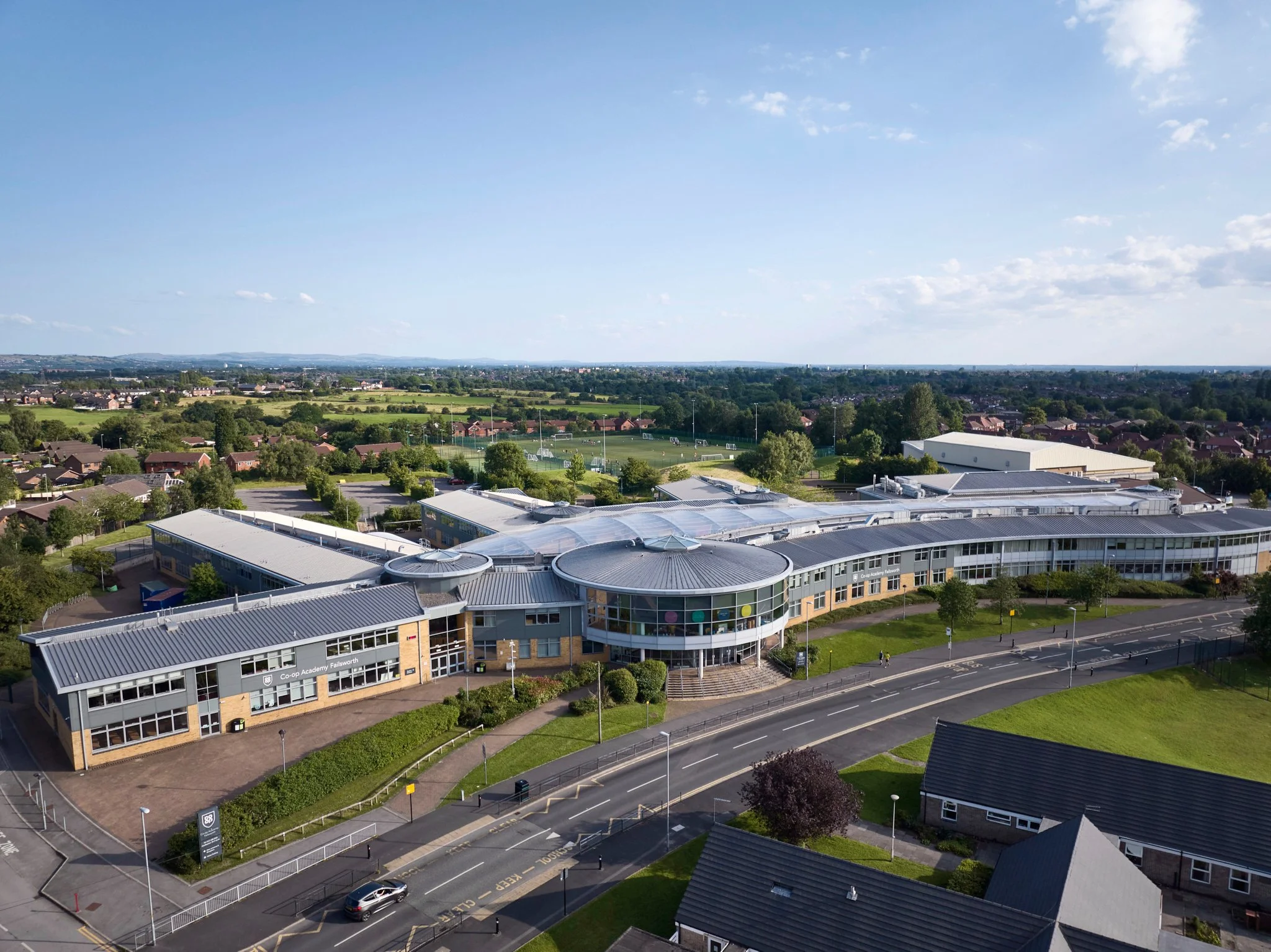
CO-OP ACADEMY
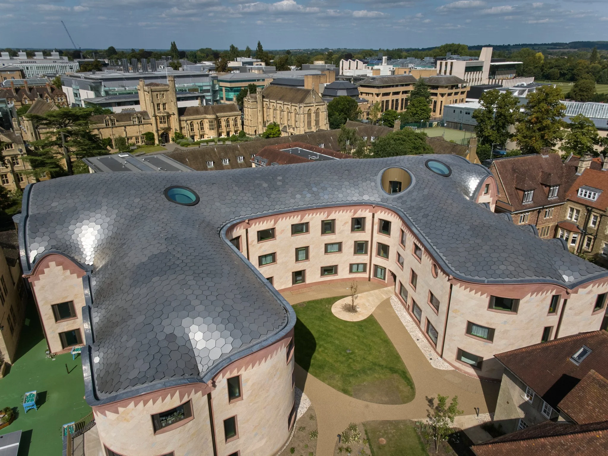
GRADEL QUADRANGLES
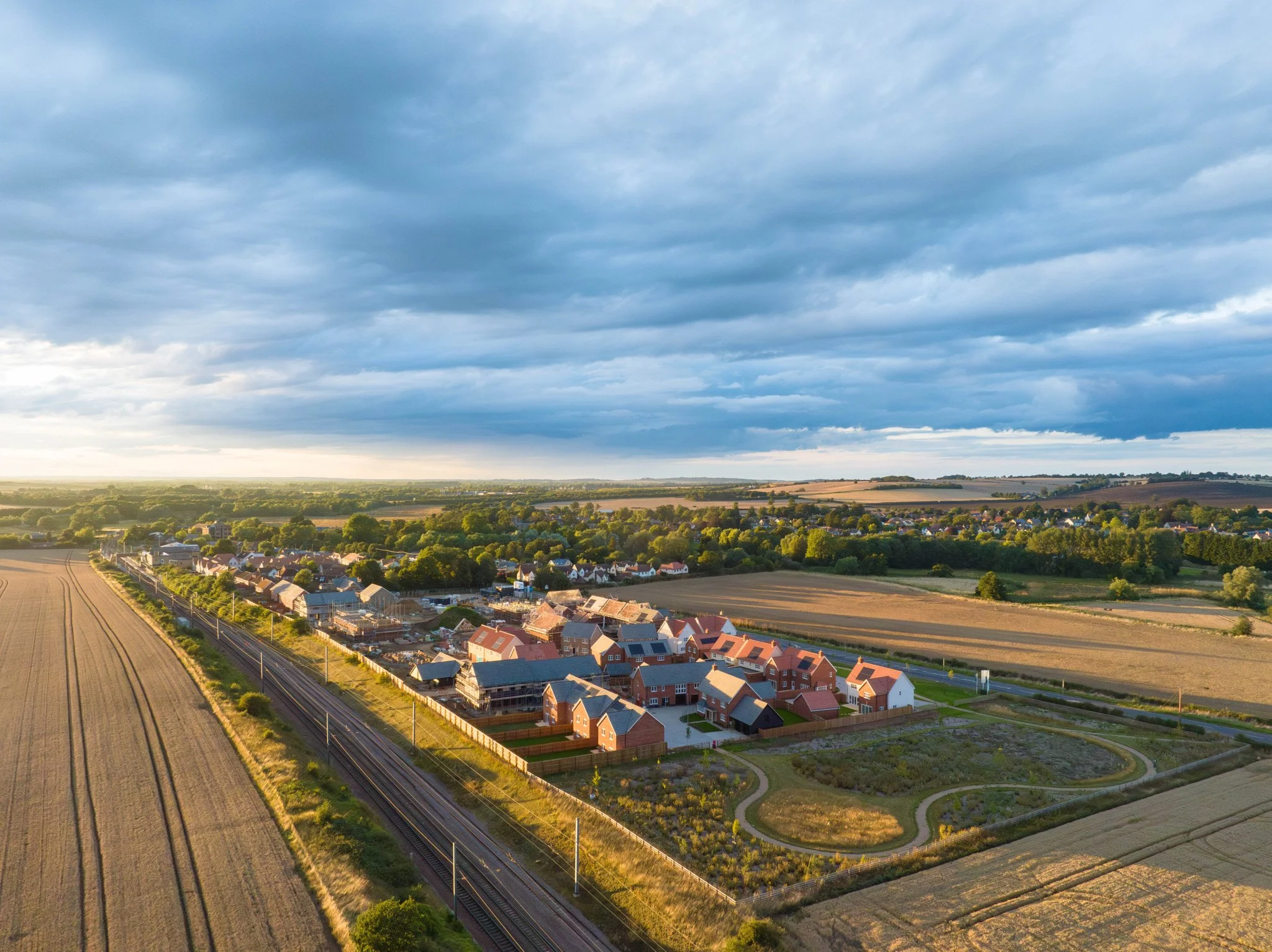
CHESTERFORD MEADOWS
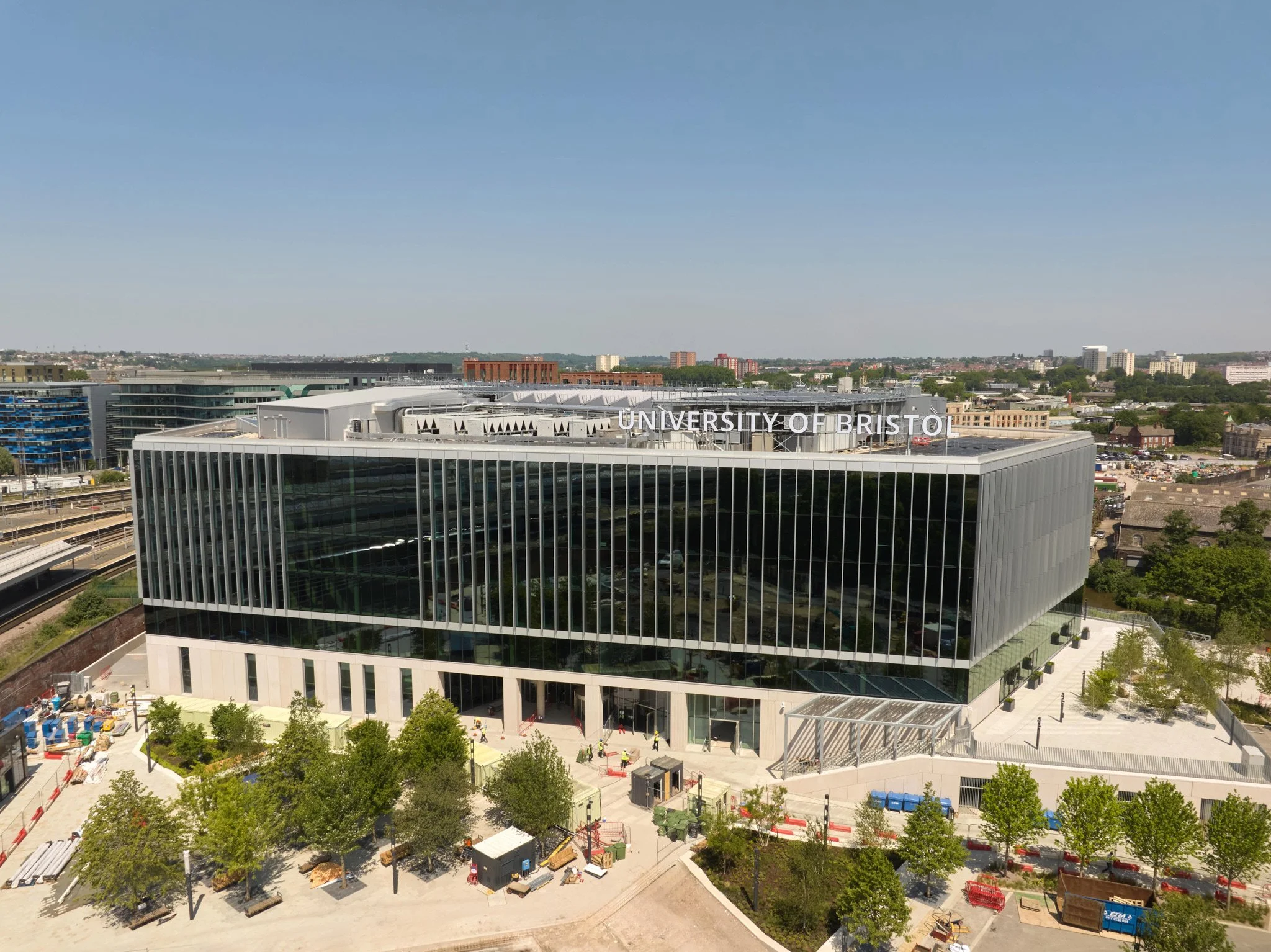
TQEC BRISTOL
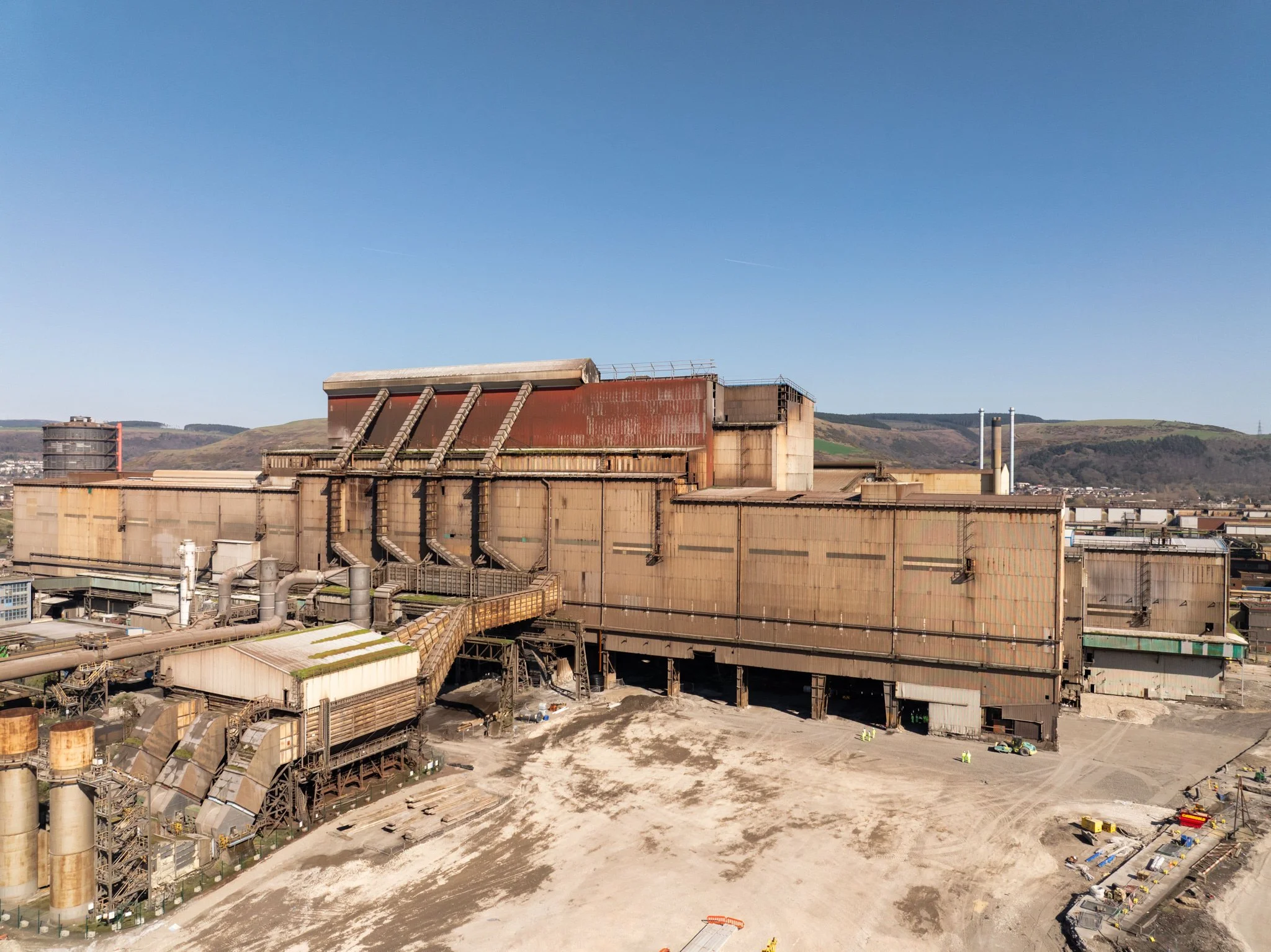
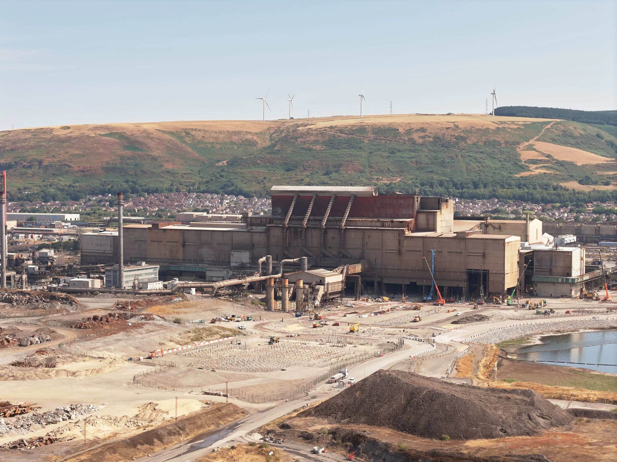
PORT TALBOT
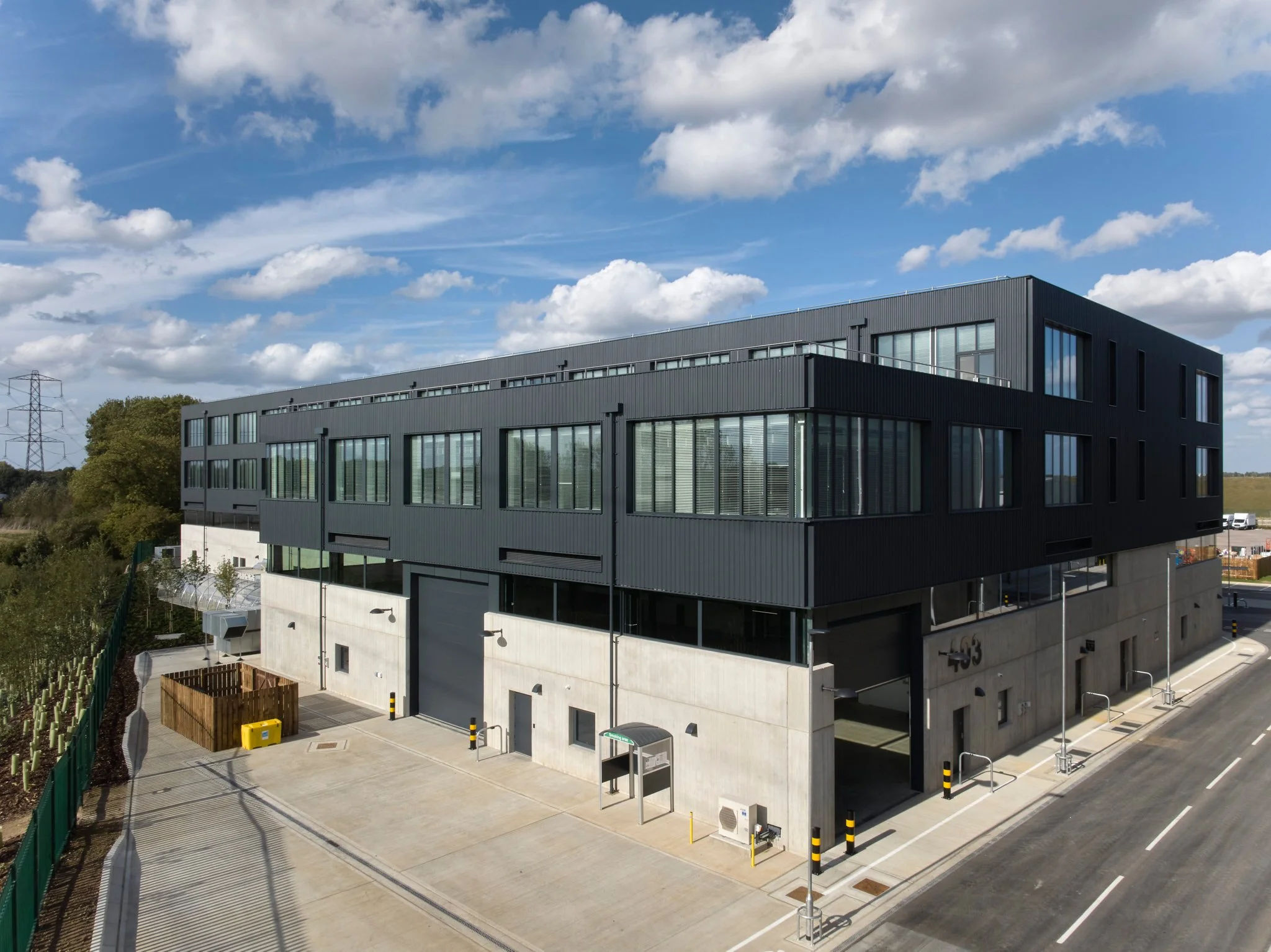
SHEPPERTON SOUND STAGES
Frequently Asked Questions
-
Yes — I hold an A2 CofC (Certificate of Competency) issued by the CAA, along with a valid operator ID and flyer ID. All flights are covered by dedicated drone liability insurance, and documentation can be provided ahead of any shoot if your site or client requires it.
-
Yes, all flights are planned and conducted in line with UK CAA regulations, including operating within permitted categories, respecting airspace restrictions, and following the drone code. Where a site falls within controlled airspace or near an airport, I'll handle the necessary permissions or notifications in advance.
-
I carry commercial drone liability insurance covering third-party risk, which is a standard requirement for operating on client sites, near the public, or in controlled environments. Proof of insurance can be supplied to you or your site management before the shoot if needed.
-
Safety comes first on every job. This includes conducting a site risk assessment before flying, checking for people, vehicles, structures, and overhead hazards, maintaining safe distances from uninvolved persons, and having a clear abort plan if conditions change. I'll also check local airspace restrictions (NOTAMs, nearby airports, restricted zones) before every flight.
-
Not usually for permission to operate, but I'll always confirm safe launch/landing areas, any site-specific hazards (cranes, overhead lines, restricted areas), and let you know the planned flight time so your team can be informed if needed.
-
Aerial images and video are commonly used to show site scale, layout, progress on construction projects, roof condition, or a building's setting that can't be captured from the ground — useful for marketing, planning applications, surveys, and progress reporting.
-
Drone flights are weather-dependent — strong wind, rain, or poor visibility can make flying unsafe or affect image quality. If conditions aren't suitable on the day, I'll discuss rescheduling rather than compromise on safety.
-
Yes — drone video is available alongside stills, including flyovers and progress footage for construction and industrial sites. Video is coordinated as part of your booking so photography and video can be captured in the same flight where possible.